|
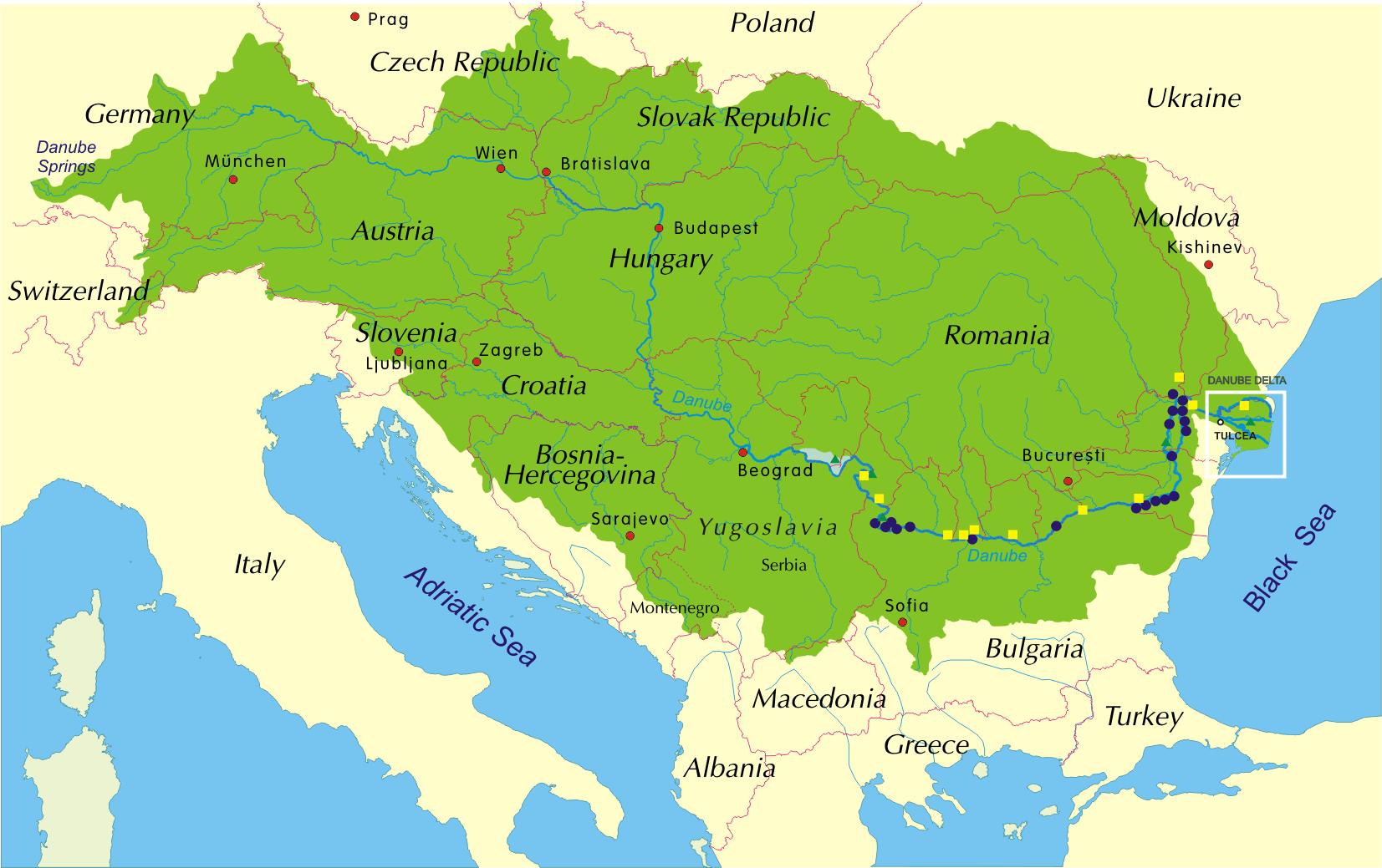
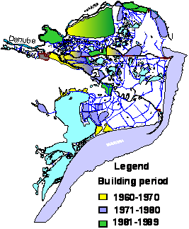
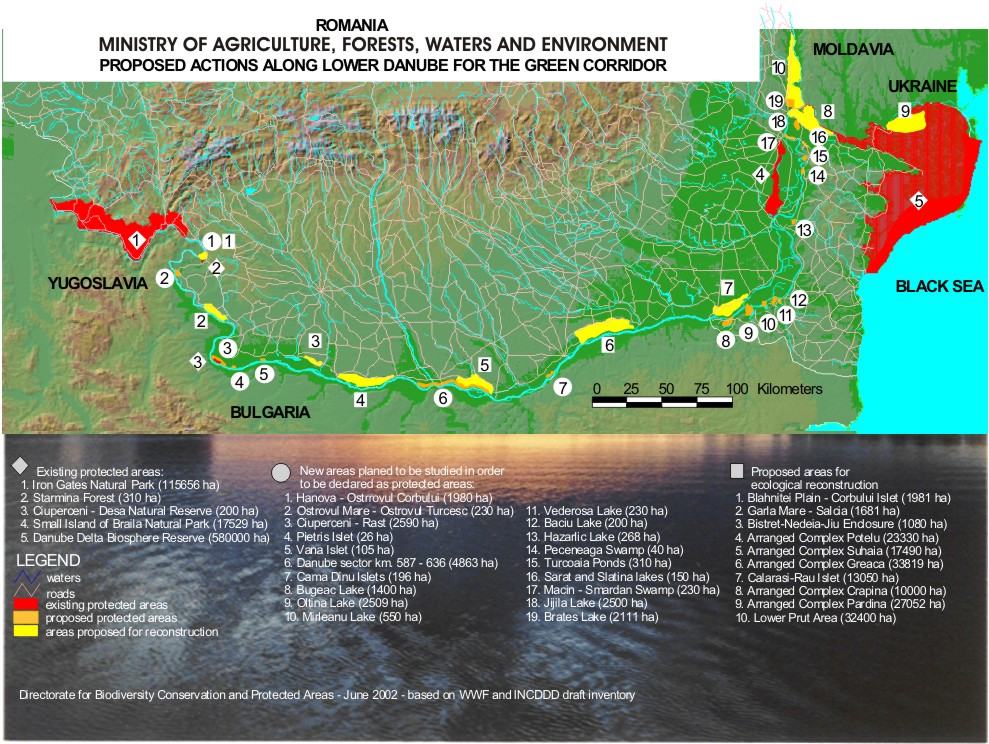
1
|
|
|
2
|
|
|
3
|
|
|
4
|
|
|
5
|
|
|
6
|
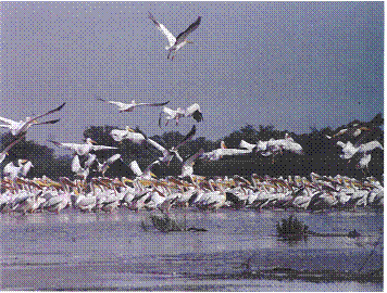
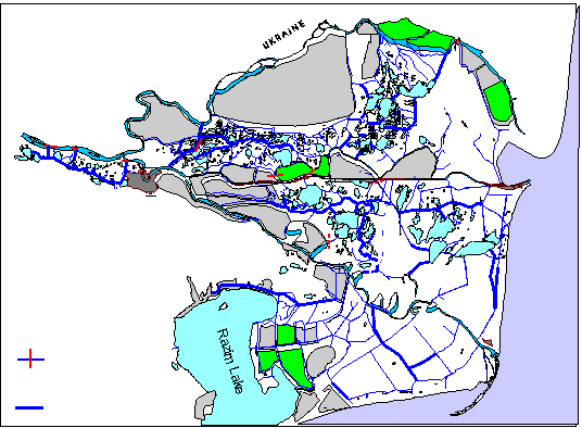
- Part of the Man and Biosphere
Programme of UNESCO since 1990
- Included in Ramsar Convention List since 1990
- Included in World Heritage List since 1990
|
|
7
|
|
|
8
|
|
|
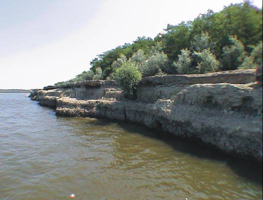
9
|
|
|
10
|
|
|
11
|
|
|
12
|
|
|
13
|
|
|
14
|
|
|
15
|
|
|
16
|
- Ob.3. Manage water circulation in order to improve the ecological
conditions
- Ob.4. Assess the effectiveness of existing buffer zones and if necessary
recommend modifications
|
|
17
|
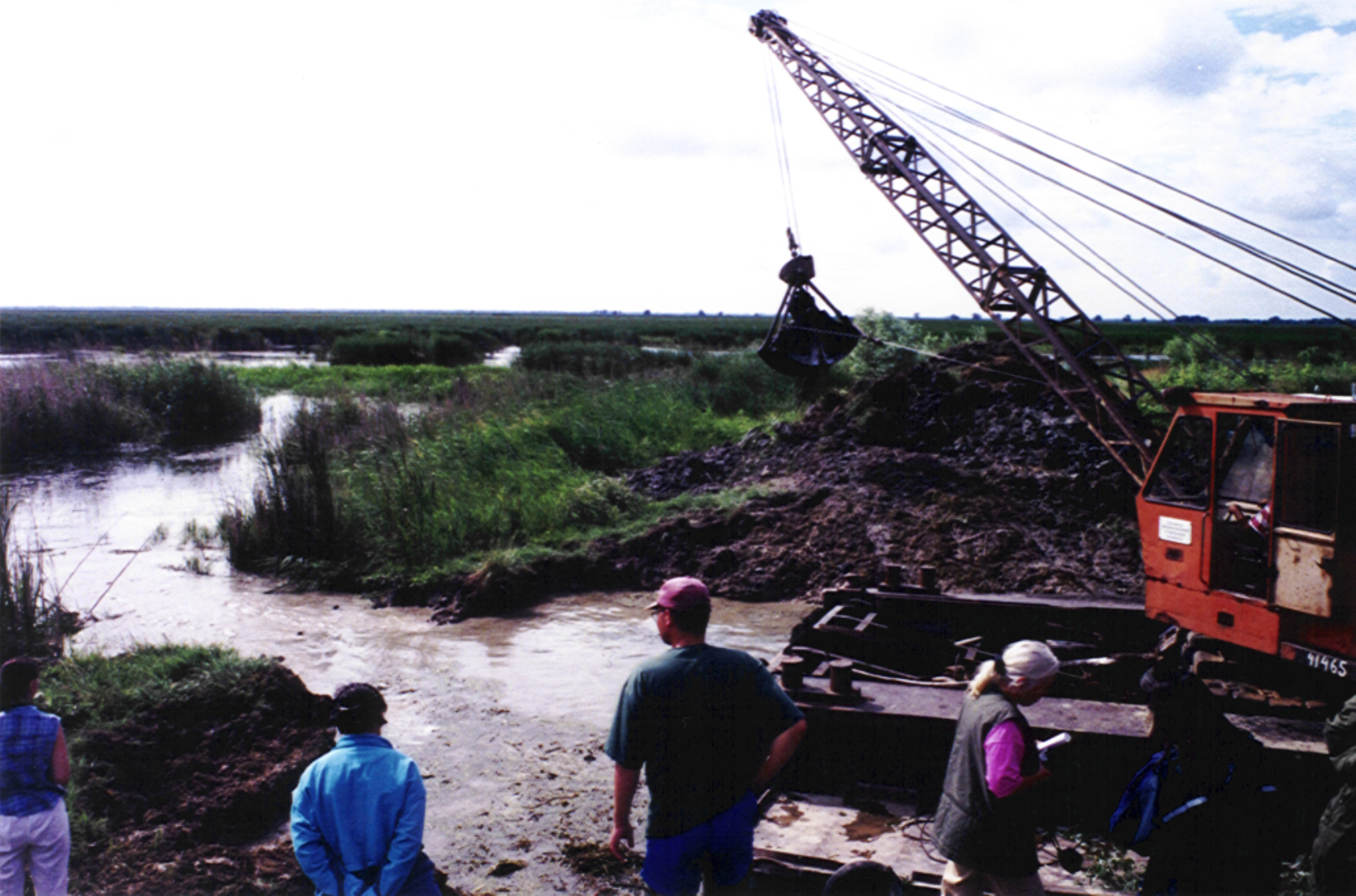
- WETLAND RESTORATION PROJECTS
- - Research, design, monitoring: DDNI in cooperation with RIZA – the
Netherlands and Institute for Floodplain Ecology, Rastatt, WWF Germany
- - Civil works: DDBRA
- HYDROLOGICAL SYSTEM REHABILITATION PROJECTS
- -Research and design: DDNI &RIZA
- -Civil works: DDBRA
|
|
18
|
- Restoration of habitats and ecosystems
- Restoration of the endangered species
- Restoration of the affected landscape
|
|
19
|
|
|
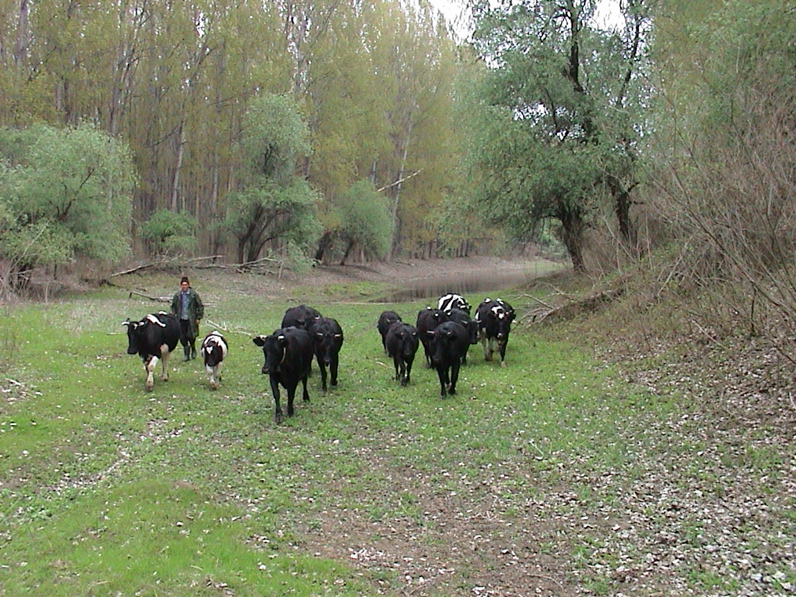
20
|
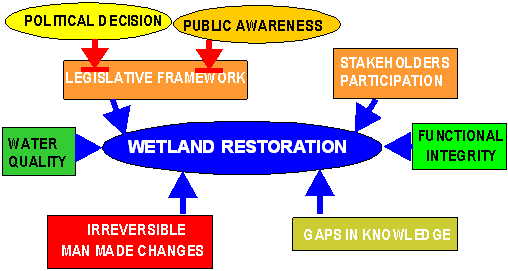
- Objectives:
- Restore the specific functions of the wetlands
- Restore lateral connectivity and reintegration in the natural river
pulse system
- Restore the natural habitats that support biodiversity and natural
resources
- Recover traditional economic activities of the local communities
|
|
21
|
|
|
22
|
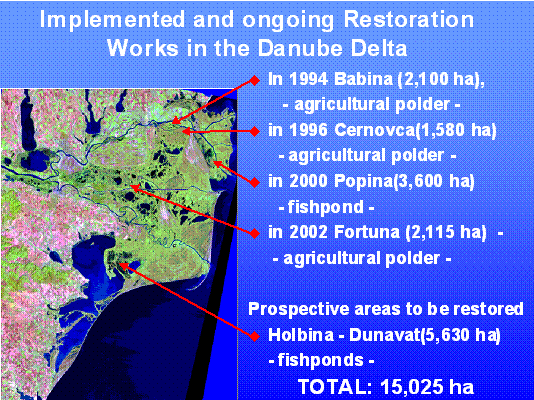
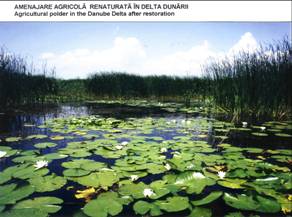
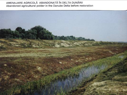
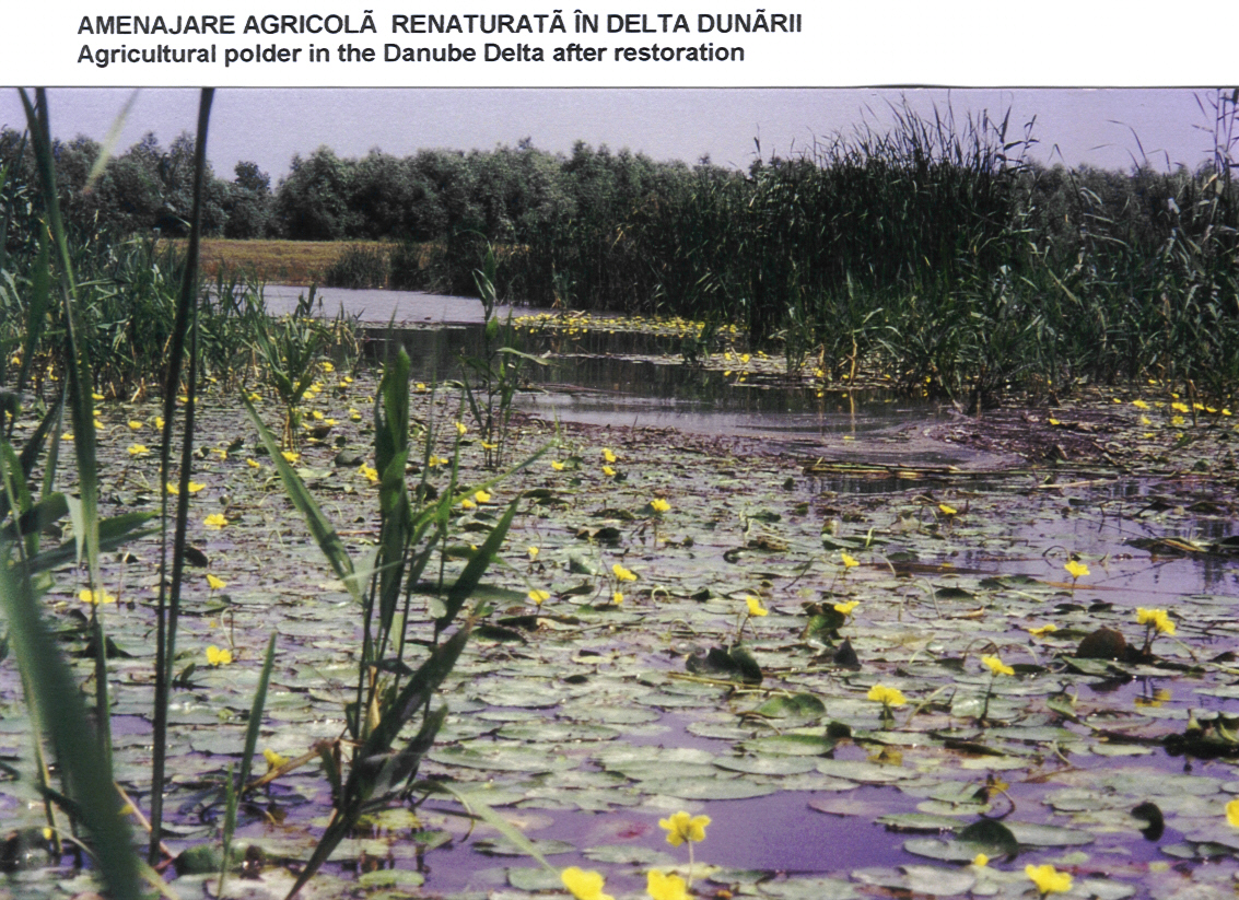
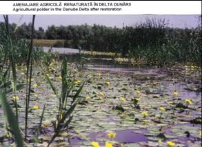
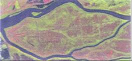
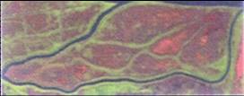
- S = 2,100 ha Babina, 1,580 ha Cernovca, former agriculture polders
(drained areas)
- Research: 1991-1994, cooperation with Institute for Floodplain Ecology,
Rastatt, WWF Germany
- Monitoring: 1995-2002
- Project status: fully implemented, Babina reverted to wetland since
1994, Cernovca since 1996
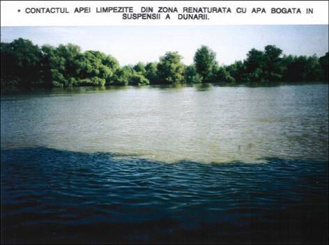
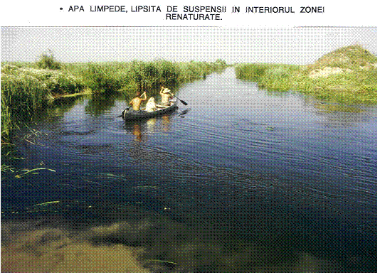
- Present status: a mosaic of water types, clear to turbid water systems,
depending on the connectivity to the river
|
|
23
|
|
|
24
|
|
|
25
|
|
|
26
|
|
|
27
|
|
|
28
|
|
|
29
|
|
|
30
|
|
|
31
|
|
|
32
|
|
|
33
|
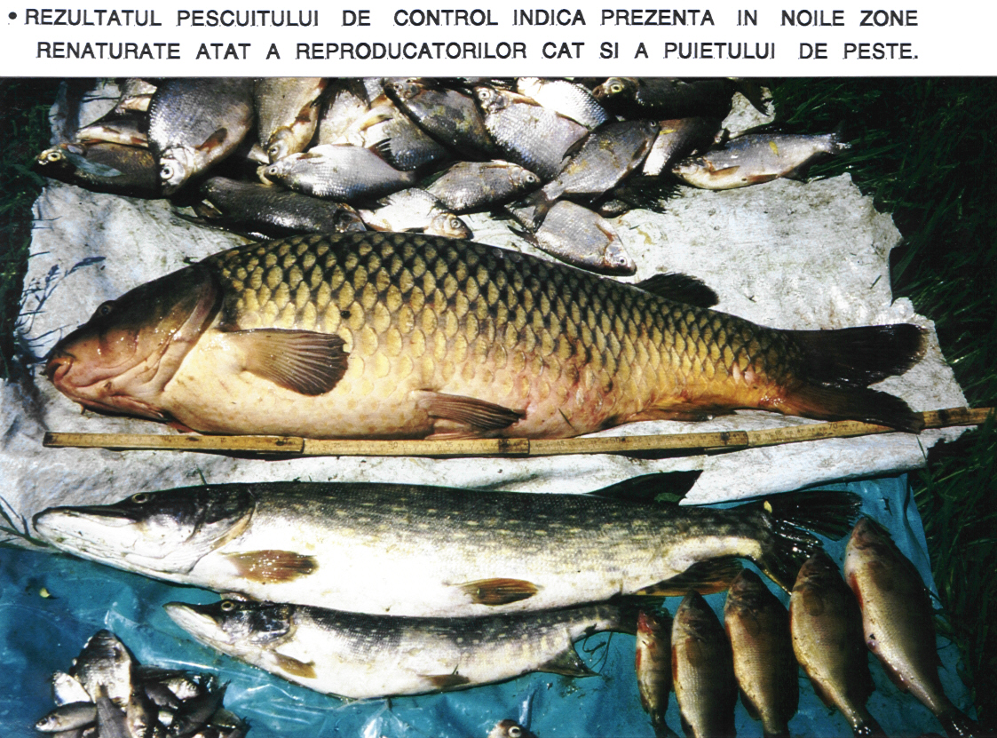
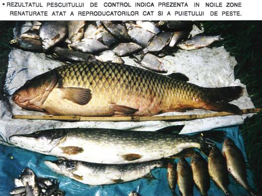
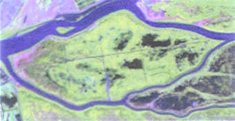
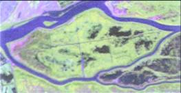
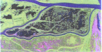
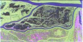
- S = 5,630 ha, former fish farms
- Research: 1993-1996
- Result: Restoration strategy
- Implementation status: investment funds available since 2003
- Evolution: water system reverted
from turbid plankton-dominated to clear macrophytes –dominated state (!)
|
|
34
|
|
|
35
|
|
|
36
|
|
|
37
|
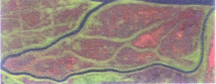
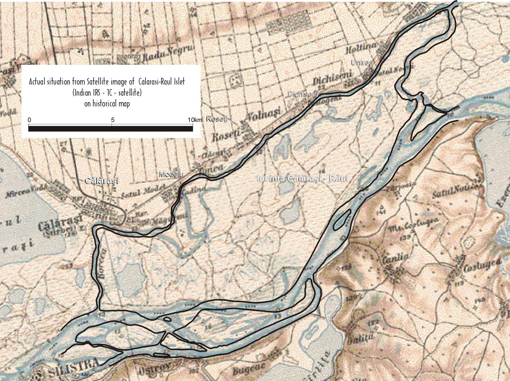
- S = 687 ha
- -Origin: Islets formed by cutting meanders
- -Research: 2002
- -Restoration to be implemented
|
|
38
|
|
|
39
|
- Objectives:
- -close or calibrate the artificial North-South oriented canals
- -calibrate the (semi-)natural West-East channels
- -calibrate the lake entrances
- From 3,400 km of channels 329.5
km have been dragged, 8 canals closed and 5 sections calibrated
|
|
40
|
|
|
41
|
|
|
42
|
|
|
43
|
|
|
44
|
|
|
45
|
- Restore and preserve the specific biodiversity of the Calarasi-Raul
Islet
- Benefits for population in the area by increasing of the employment and
the development of traditional activities: fishing, reed harvesting,
wood cutting and tourism
|
|
46
|
- GENERAL STRATEGY FOR ECOLOGICAL
REHABILITATION OF CALARASI-RAUL ISLET
- COMPLET PROJECT FOR REHABILITATION OF
- CALARASI-RAUL PILOT AREA
- IMPLEMENTATION PLAN
- INVESTMENTS COST-PLAN
- BIOLOGICAL AND HYDROLOGICAL MONITORING
|
|
47
|
|
|
48
|
- BASEMENT STUDY TO PROMOTE IEZER-CALARASI AREA AS NATURAL RESERVE
- MANAGEMENT PLAN OF CONSERVATION
- ECOLOGICAL REHABILITATION PROGRAM
- STRATEGIES FOR PUBLIC AWARNESS AND RESEARCH
- IMPLEMENTATION PLAN
|
|
49
|
|

 Notes
Notes